Internet
Is Google Maps usable in China?
Not as your only map. Depending on your network path, Google Maps may open or partly function, but it is still a weak primary navigation tool for mainland China because local listings, transit detail, entrances, and ride-hailing pickup logic are usually much better in local map apps.
Updated 2026-05-04
The visual compares Google Maps as a reference layer with local map apps as the execution layer for walking, public transit, and ride-hailing pickups. That is the workflow most visitors find reliable on the ground.
Practical answer, not legal advice.
Payment, telecom, app, and platform rules can change. Always verify current requirements directly with the relevant official authority or service provider before acting.
Short answer
Google Maps should be treated as a reference layer, not as your sole navigation tool for mainland China. Even when the app opens, the practical quality of local listings, exits, pedestrian details, transit instructions, and pickup points is often weaker than what local mapping tools provide.
That is why the useful traveler question is not 'does Google Maps open at all' but 'can it guide my real movement through Chinese stations, streets, and pickup zones without creating avoidable mistakes.'
Why travelers report different experiences
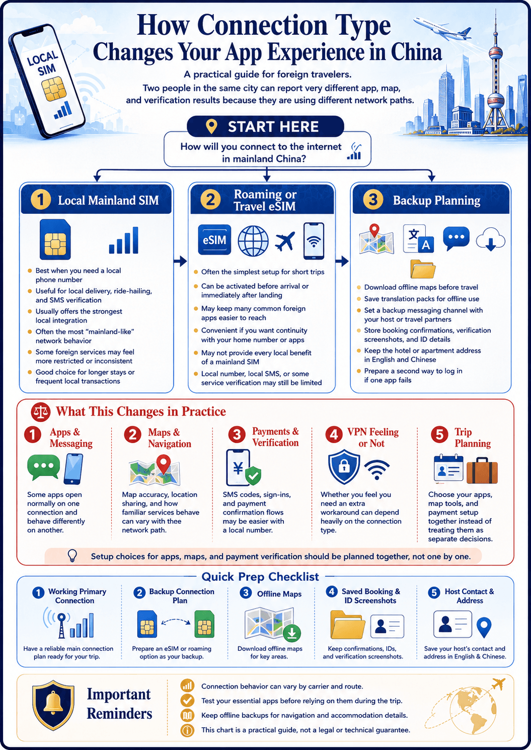
Different connection types can produce different behavior, which explains many contradictory online reports. A traveler using roaming or a travel eSIM may be able to access Google Maps more easily than a traveler relying on a local mainland path.
But access alone is not the whole story. Even if the app opens, the local data quality and execution value still matter, and those are where local map apps usually outperform it.
Where Google Maps is weakest on the ground
Mainland China navigation often depends on very specific local details: the correct subway exit, the exact side of a station, the right road-level entrance, or the pickup point a ride-hailing driver expects. This is exactly where local tools tend to be much stronger.
Travelers who insist on using Google Maps alone often find that they can roughly understand where they are but still lose time at the final 200 meters, which is where many real travel mistakes happen.
Put this into practice
Use our travel checklist to track what you have prepared.
A workflow that actually survives the trip
The strongest approach is to use Google Maps only as a rough orientation tool if it is available to you, and then rely on local map apps for real execution: walking directions, metro navigation, station exits, and ride-hailing coordination. That split removes a lot of frustration.
If you do not read Chinese well, prepare for that by installing the local app early and learning the key screens before departure. Even basic familiarity matters more than trying to debug a map workflow on the sidewalk after arrival.
Offline preparation matters more than people think
Save hotel names, addresses, and landmark references offline. Screenshots and address cards help because navigation failure is often not total. It is partial. You may know the destination but need a cleaner local handoff to finish the route correctly.
This is especially important for train stations, large malls, airports, and pickup points where direction failure can waste serious time even when the destination itself is technically known.
What travelers still get wrong
Many travelers treat this as a binary access question when it is really a quality question. An app that opens is not automatically an app that navigates well enough for your trip.
The second mistake is delaying map setup until arrival. Install and preview your local backup map before departure and the whole China navigation problem becomes much easier.